海釣図V
Category : News and Magazines
Author Name : 海釣図V~海釣りマップ&潮汐&風・波・海水温予報~
Operating System : android
License : Free
Rating : Everyone
海釣図V Download Links for Android
海釣図V Screenshot
About 海釣図V Android Application
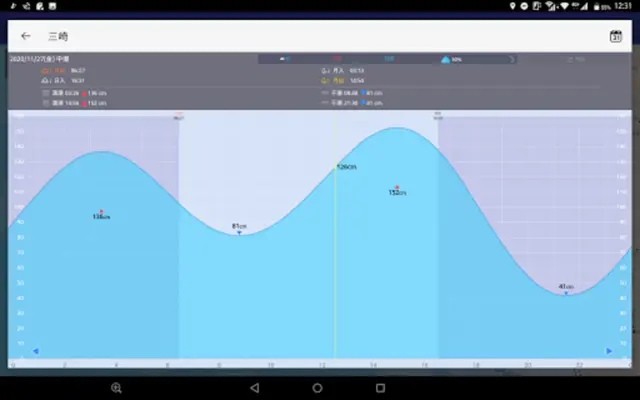
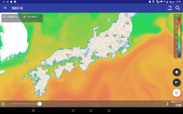
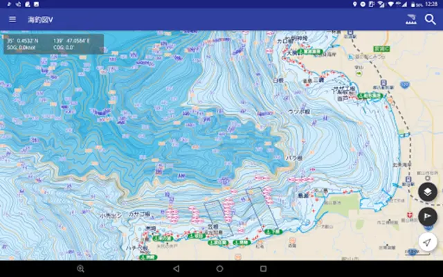
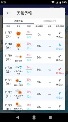
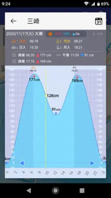
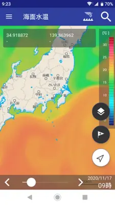
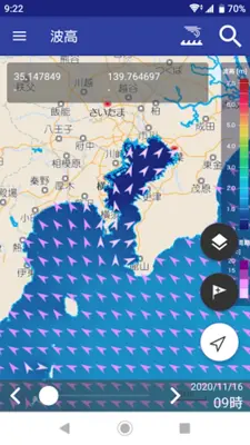
Marine Fishing Chart V is a sea fishing map app that uses data from the Electronic Nautical Reference Map New PEC provided by the Japan Hydrographic Association. The app covers all of Japan and provides detailed contour lines, fishing points, fishing ports, and other information useful for sea fishing. Users can also register their own fishing points, manage fishing records, and access weather and sea condition information. A regular monthly subscription is required to use the detailed map and some other features.
Application Official Website
https://mapple-on.jp/products/kaichouzu-vApplication Support Email
[email protected]Application Main Features
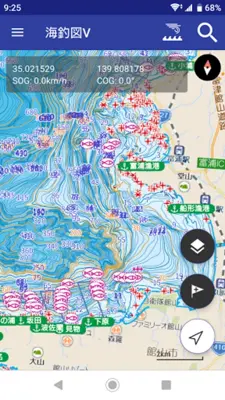
- Detailed “contour lines” are color-coded for easy viewing.
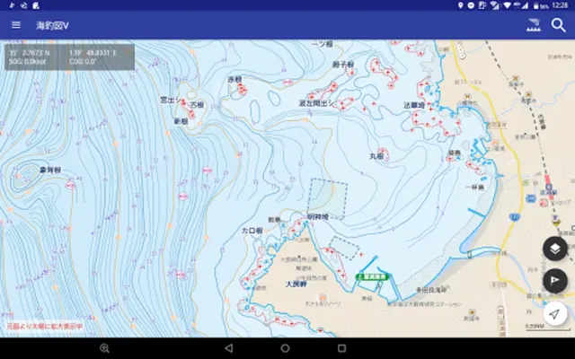
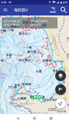
- Displays the locations of fish reefs and roots that are fishing points.
- Fishing ports, where recreational fishing boats and rental boats depart, are also displayed.
- Includes ``marina'' and ``sea station'' that are convenient for stopping by pleasure boats.
- Displays dark rocks, washed rocks, dry rocks etc. that may cause you to run aground during navigation.
- Easily register points for good fishing results to My Points.
- Easily register your own fishing points that are not on the map on the spot.
- Share your points with your fishing friends (share via email).
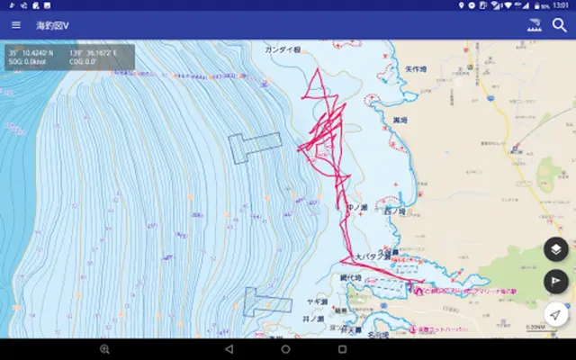
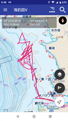
- Save the wake (GPS log) when you go fishing by boat or kayak.
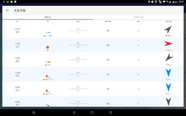
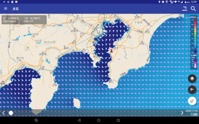
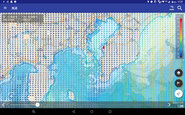
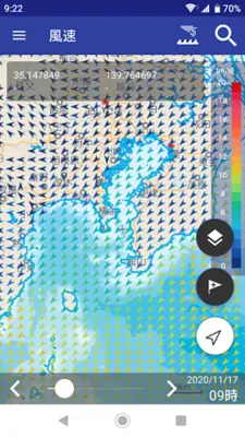
- Displays actual and predicted wind speed and direction data.
Application Ratings
2.9
1
2
3
4
5
The content is rewritten by Gemini Ai ,Published Date : 8/5/2024 , Modified Date : 8/5/2024
